Saturday, January 26, 2013

Toorongo Falls - Baw Baw NP - VIC

Walk:  Toorongo Falls loop.


Distance/Type:   2.2km / Round Trip

Terrain/Rating: Slight incline along the Toorongo River for 30 mins to the first falls then works its way back down via track loop. Easy.

Start / Finish Time:  3pm  / 4pm (Conservative Times)

Start / Finish Location:  Tooronga Falls carpark.

Trip Summary: 
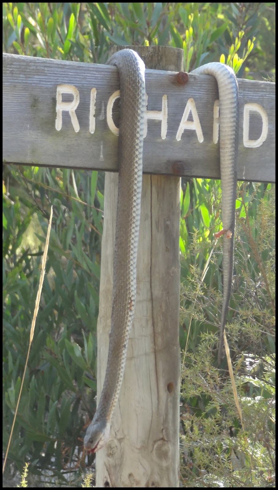
This would be a nice walk to take the family. About 1 to 1.5 hour loop walk with 2 waterfalls and a nice river saddling the tracks for most of it. There are quite a lot of areas where you can walk to the waters edge and I was lucky enough to encounter some wildlife and nice berries on this trip. The only hassle is its quite a drive to get there being about 30 mins short of the Mt Baw Baw summit along the Mt. Baw Baw tourist road.  Theres a 15 minute drive up the Tooronga Valley dirt road that leads you past a free camping area (seems to be be popular with dirtbikes) before reaching the Tooronga Falls carpark. 

Trip Details:
From the carpark head up the main track to the right of the toilet block.


The track follows the Toorongo River for a few hundred metres before you reach a bridge that crosses over it.
.


50 meters after the bridge you come to the track loop intersection sign with Toorongo Falls to the right and the direct walk to Ampitheatre Falls to the left. 


The sign directs everyone to do a counter-clockwise walk around the loop to take in both falls.


The track continues to follow the river along a beautiful fern gullied path.


Luckily on my trip I came across a lyrebird that was chirping away with a cacophony of sounds.
To listen to some of the sounds from this amazing bird go here.


After another few hundred metres as you get closer to the waterfall, moss laden boulders start to line the path.

 
At about 30 minutes into the walk you reach the Toorongo Falls and its viewing platform.

Toorongo Falls viewing platform.

There was a lot of water in these falls which I thought was surprising seeing as we had not had any significant rain for a few months and it was the middle of summer.

Toorongo Falls.

From here you continue along the other track that takes about 10 mins to get to the Ampitheatre Falls.

Ampitheatre Falls.

There is a metal caged lookout that hangs out over the river in front of the falls.

Ampitheatre Falls viewing platform.


Ampitheatre Falls.

From here the track follows the river and heads back down to join up at the other leg at the loop intersection after another 15 mins or so. Retrace your steps to the carpark or head along the vehicle track directly straight off the bridge.  There is a picnic area at the carpark off this track which has nice views of the area.

Toorongo Falls picnic area.

The toilet block at the carpark has flush toilets. The toilet block at the camping area 500m up the road looked most likely to be pit type.


Toorongo Falls camping area.
 
Please leave a comment below :)


Sunday, January 20, 2013

Currawong Falls - Otway NP - VIC

Walk:  Currawong Falls


Distance/Rated Duration/Type:  Hike 12km / 3.5 Hrs / Loop

Terrain/Rating:  Steady walk up through forest past the waterfall. Short distance but moderate walk back up.

Start / Finish Time:  9:00am  / 12:30am

Start / Finish Location:  Distillery Creek  Picnic Area, Aireys Inlet

Trip Summary: 
From the Lower Picnic area a  steady slightly uphill walk crossing a dirt track and creek before passing by the side of the falls  Continuing on past the falls the track loops down through a swamp and back towards the carpark.. There is no way of getting to the bottom of these falls from the track.

How to get there:
Take Bambra Road from Aireys Inlet for 10 minutes and turn left at the Distillery Creek Picnic Area sign. A few hundred meters up the dirt road turn right into the lower carpark.  The walking track starts at the end of the carpark. There are toilets in the other carpark on the other side of the road. There are a couple of picnic tables at both carparks.
 
Trip Detail:

Entrance to lower carpark.


From the carpark head to the end of the road to start the walk. 


Theres a small pond and a few picnic tables here.

Heading up along the track you get some nice view of the Aireys Inlet coastline.


About 1 hour into the hike you cross Love track and the track reaches its highest and most open point.

From here you have views of the surrounding forest before heading down into more lush forest and the falls. Due to the dry summer there was no water at all in the falls.


The track follows the creek for a while before heading through a lush fern gully and then the Melaleuca Swamp.

The track then loops to the right and parallels the No2 road back towards the Picnic Area.
 
 
With some luck you might view some of the wildlife in the area.  But hopefully not one of these guys.
 
No 2 track.
Overall a nice easy hike not really worth the drive unless its in addition to other hikes in the area.
Would work as a side trip to the Moggs Creek, Aireys Inlet, Bambra Road loop walk.
 

Tuesday, January 1, 2013

Waterfalls List

Waterfall List

VICTORIA:
Allambee Beek Falls (Otway NP)
Ampitheatre Falls (Mt Baw Baw NP)
Beauchamp Falls (Otway NP)
Carisbrook Falls (Otway NP)
Conglomerate Falls (Alpine NP)
Cora Lynn Falls (Otway NP)
Cyathea Falls (Tarra Bulga NP)
Dights Falls (Melbourne)
Erskine Falls (Lorne)
Hopetoun Falls (Otway NP)
Lower Kalimina Falls (Otway NP)
MacKenzie Falls (Grampians)
Marriners Falls (Apollo Bay)
Phantom Falls (Otway NP)
Pieman Falls (Alpine NP)
Silverband Falls (Grampians)
Snobs Creek Falls (Eildon)
Staircase Falls (Otway NP)
Steavenson Falls (Marysville)
Stevenson Falls (Otway NP)
Straw Falls (Lorne)
Tarra Falls (Tarra Bulga NP)
Toorongo Falls (Mt Baw Baw NP)
Triplet Falls (Otway NP)
Upper Kalimna Falls (Otway NP)

NEW SOUTH WALES:
Wentworth Falls (Blue Mtns NP)
Katoomba Falls (Blue Mtns NP)
Bridal Veil Falls (Blue Mtns NP)

TASMANIA:
Hogarth Falls (Strahan)
Liffey Falls (Deloraine)
Montezuma Falls (Rosebery)
Nelson Falls
Queenstown Falls (Queenstown)

QUEENSLAND:
Bahnamboola Falls (Lamington NP)
Coomera Falls (Lamington NP)
Elabana Falls (Lamington NP)
Neerigomindalala Falls (Lamington NP)
Yarrabilgong Falls (Lamington NP)

NZ:
Bridal Veil Falls (Routeburn Trk)
Earland Falls (Routeburn Trk)
Giant Gate Falls (Milford Trk)
Hidden Falls (Hollyford Trk)
Humboldt Falls (Hollyford Trk)
Iris Burn Falls (Kepler Trk)
Mackay Falls (Milford Trk)
Routeburn Falls (Routeburn Trk)
Sutherland Falls (Milford Trk)